Imagine starting your morning with a short stroll for coffee, hopping on a train for a seamless commute, then meeting friends for dinner without moving your car. If you are considering Burbank, the way you move each day will likely shape the home and block you choose. This guide shows where walkability concentrates, how it changes daily routines, and what to look for when you tour. Let’s dive in.
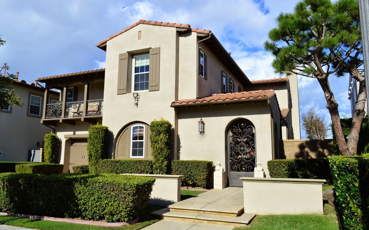
Burbank’s walkable pockets
Downtown San Fernando
Downtown Burbank centers on San Fernando Boulevard, where restaurants, theaters, shops, and the Burbank Town Center cluster within a few compact blocks. The city tested street changes that slow traffic and prioritize people on foot, which makes it easier to linger, cross, and hang out on evenings and weekends. You can explore the district’s dining and parking map to get a feel for the core blocks and amenities around them at the Downtown Burbank guide. City updates on the San Fernando pilot explain how the reconfiguration improved walkability for everyday trips and nights out on the corridor. Learn more from the San Fernando Boulevard reconfiguration page.
Magnolia Park rhythm
Magnolia Park feels like a neighborhood main street lined with independent retailers, vintage shops, and cafés. The rhythm here suits short walks for lunch, bakery runs, and after-dinner browsing. Get a block-by-block sense of the area from this Magnolia Park overview. If you prefer local flavor and daytime bustle over larger destinations, this pocket often fits.
Studio-adjacent blocks
If you work at Warner Bros. or The Walt Disney Studios, living near studio campuses can shorten your day and simplify first and last mile travel. The studio lots operate like private campuses, but their presence concentrates jobs and creates steady demand nearby. Learn more about daily flow and access from Warner Bros. Studio Operations, then consider blocks that balance proximity with the residential pace you want.
Chandler Bikeway and greenways
The Chandler Bikeway is a tree-lined multiuse path used by cyclists and pedestrians and it has shaped how locals run errands and commute across neighborhoods. It links multiple pockets and reduces the need for short car trips, especially when paired with downtown connections. Preview the route and feel from the Chandler Bikeway guide.
How walkability shapes your day
Mornings made simple
If you live near San Fernando Boulevard, you can line up coffee, a quick grocery stop, and a 6 to 10 minute walk to the Metrolink platform, depending on your block. Specific downtown addresses show very high Walk Scores that reflect this convenience; see an example for 112 N San Fernando Blvd. In Magnolia Park, your morning might mean a short stroll with the dog, a café stop, and a smooth bike ride on Chandler if you are heading toward a studio or rail.
Midday errands without the car
Downtown and Magnolia Park support everyday chores on foot, from picking up a package to grabbing lunch. Trader Joe’s on E Alameda sits near the core downtown area, and the Burbank Town Center adds larger-format shopping close to residential blocks. This mix means you can handle quick errands by foot and reserve the car for stock-up trips.
Evenings and weekends
Downtown’s restaurants, theaters, and mall draw steady foot traffic that gives the area a small-city feel. Magnolia Park’s indie shops and cafés offer a quieter, social streetlife with regular events and vintage browsing. Parks add to this rhythm: hike from the Stough Canyon Nature Center into the Verdugo Mountains or enjoy an easy walk-and-play afternoon at neighborhood parks like Verdugo Park and Johnny Carson Park.
Getting around without the car
Rail that connects the region
The Downtown Burbank Metrolink station is served by the Antelope Valley and Ventura County lines, which can make regional commutes more reliable. See service details at the Downtown Burbank station overview. If you fly often, the Burbank Airport South station at Hollywood Burbank Airport connects to Amtrak and Metrolink for direct airport access. Check the Burbank Airport South station page for context.
First and last mile tools
BurbankBus links key destinations like downtown, the studios, the hospital, and the airport, which helps close gaps between home and work. Explore routes on the BurbankBus page. LA Metro’s on-demand Micro service also covers parts of North Hollywood and Burbank, which can reduce the need for a personal car for flexible local trips.
Street projects that help you walk
Burbank’s Complete Streets work is visible downtown, where the San Fernando pilot reallocated space to people walking, biking, and loading. These projects change how comfortable and safe short trips feel, and they support a daily pattern of errands on foot. If you want evenings on the block without moving your car, these design choices matter.
What “walkable” means by minutes
In Burbank, walkability is very block specific. In the San Fernando core you may be about 6 to 10 minutes on foot to the Metrolink platform, while a bike ride to a studio or rail hub can range from 10 to 25 minutes depending on your route. Magnolia Park favors 5 to 15 minute walks to cafés and local shops. Use a timer on your phone or a block-level Walk Score to verify actual minutes for the home you are considering.
Buyer checklist for walkable fit
- Daily destinations: Do you need to reach a studio gate, a rail platform, or an airport quickly and often?
- Lifestyle tradeoffs: Do you want nightlife and crowds close by, or a quieter block that still offers short walks?
- Route quality: Are sidewalks continuous, crosswalks frequent, and signals timed well for walking? Note lighting for night walks.
- Bike links: Is there a direct connection to the Chandler Bikeway or other protected lanes? Confirm route comfort at peak hours.
- Essentials: Name the nearest grocer and estimate minutes on foot. Decide if weekly shopping will be a walk or a short drive.
- Noise windows: Visit at different times to understand evening and weekend activity on your target block.
Neighborhood signposts at a glance
- Downtown San Fernando: Walk-to-everything blocks with restaurants, theaters, and Metrolink access. Ideal if you want errands and nightlife within a short walk.
- Magnolia Park: Boutique shopping and cafés that reward short daily walks and a social, daytime street rhythm.
- Studio-adjacent pockets: Choose a block that balances proximity to lot gates with a residential pace that fits your schedule.
The bottom line
Burbank rewards you for choosing the right block. If you want everyday errands, rail, and dining within minutes on foot, focus on San Fernando Boulevard’s core or Magnolia Park. If you split time between studios and travel, consider how Chandler, BurbankBus, and the two rail stations plug into your routine. Ready to find the place that fits your daily rhythm? Reach out to Tina Quillen to Request a Custom Marketing Plan & Home Valuation and get street-level guidance on the blocks that will work for you.
FAQs
Is downtown Burbank walkable for daily errands?
- Yes. The San Fernando Boulevard core concentrates restaurants, shops, theaters, and the Town Center within a few compact blocks, and recent street changes support walking. See the Downtown Burbank guide.
How does Magnolia Park compare for walking?
- Magnolia Park is a neighborhood main street with indie shops and cafés that support 5 to 15 minute walks for errands and lunch breaks. Explore this Magnolia Park overview.
What trains serve Downtown Burbank station?
- Metrolink’s Antelope Valley and Ventura County lines serve the Downtown Burbank station, which can simplify regional commutes. Review the station overview.
Can you reach Hollywood Burbank Airport without driving?
- Yes. The Burbank Airport South station serves Amtrak and Metrolink at the airport, and BurbankBus connects key local destinations. Learn more about BurbankBus and the airport station.
How can I verify walk times and current safety on a block?
- Time your own walk, check block-level Walk Scores, and review the Burbank Police Department’s current bulletins. Start with Walk Score’s downtown example and the Burbank PD crime statistics page.